
Last modified: 2021-06-27 by ivan sache
Keywords: vauquois |
Links: FOTW homepage |
search |
disclaimer and copyright |
write us |
mirrors
![[Flag]](../images/f/fr-55-va.gif)
Flag of Vauquois - Image by Olivier Touzeau, 9 February 2021
See also:
The municipality of Vauquois (18 inhabitants in 2018; 814 ha) is located 40 km north-west of Verdun.
Vauquois was located on a hill overlooking the valley of the Meuse and the road from Verdun to Bar-le-Duc. During the First World War, the Germans attempted for four years to seize the hill defended by the French. The Paris firefighters used their pumps to spray the Germans with petroleum and then throw incendiary grenades at them. This made hundreds of victims, on both sides, because changing winds widely spread burning oil.
Both sides used a technique known as "mine warfare". The principle is to dig a tunnel to go under the enemy lines, fill the underground with explosives, and blow everything up. This made thousands of victims on both sides. From 1915 to 1918, French and German tunneling units fired 519 separate mines at Vauquois, and the German gallery network beneath the hill grew to a length of 17 kilometres.
Vauquois was completely destroyed and many huge craters and dugouts remain.
The largest crater is 40 m in depth and 150 m in diameter. After the war, a native of Vauquois, General Desprez, had Vauquois adopted by the town of Orléans, which funded the reconstruction of the village, at the bottom of the hill.
[MonOrléans, 27 April 2007]
Olivier Touzeau, 9 February 2021
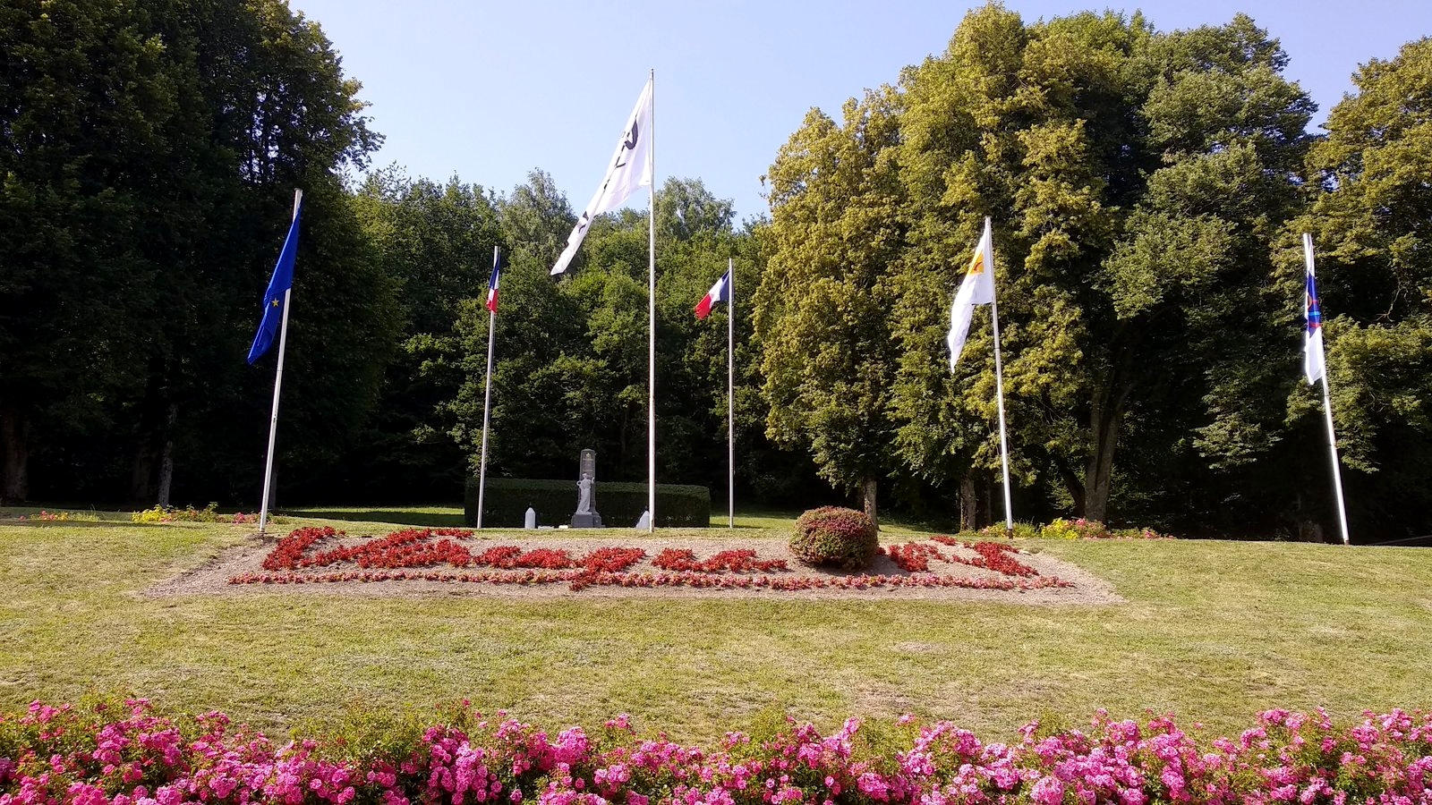
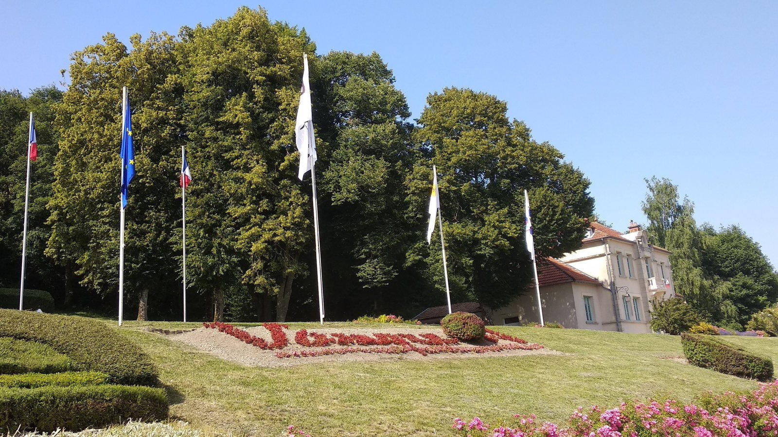
The flag of Vauquois (photo, photo, photo) is white with the municipal logo, which features the village's name with the "o" replaced by a blood stain. A square version of the flag (photo) is also used in Orléans.
Olivier Touzeau, 9 February 2021