Last modified: 2026-09-19 by martin karner
Keywords: megilot yam hamelakh | dead sea scrolls | regional council | mo'atza ezorit megilot yam hamelakh | judea and samaria |
Links: FOTW homepage |
search |
disclaimer and copyright |
write us |
mirrors
♦ photo source (square)
♦ photo source (horizontal)
♦ photo source (vertical)
See also:
Usually known for short as Regional Council Megilot. The
northern part of the Dead Sea, which stretches from Moshav
Vered Yeriho to Kibbutz Mitzpeh Shalem, is a municipal
area managed by the this Regional Council.
The Council area covers four kibbutzim – Almog, Bet
HaAravah, Mitzpeh Shalem and Kalya – as well as Moshav
Vered Yeriho. Settlement of this region began with the
establishment of Kibbutz Kalya in 1974.
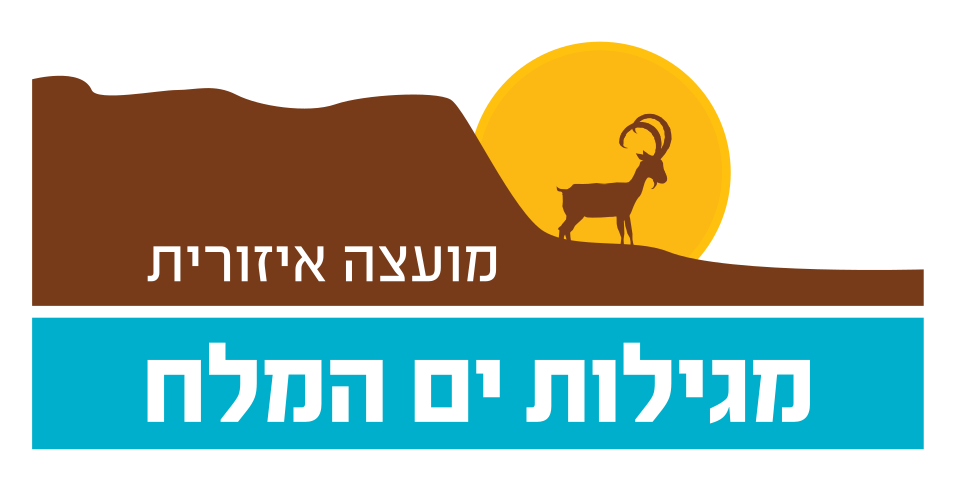
A blue over yellow bicolor charged with emblem (in a shield?) is
seen in front of the city hall at a photo at www.dead-sea.org.il [not archived].
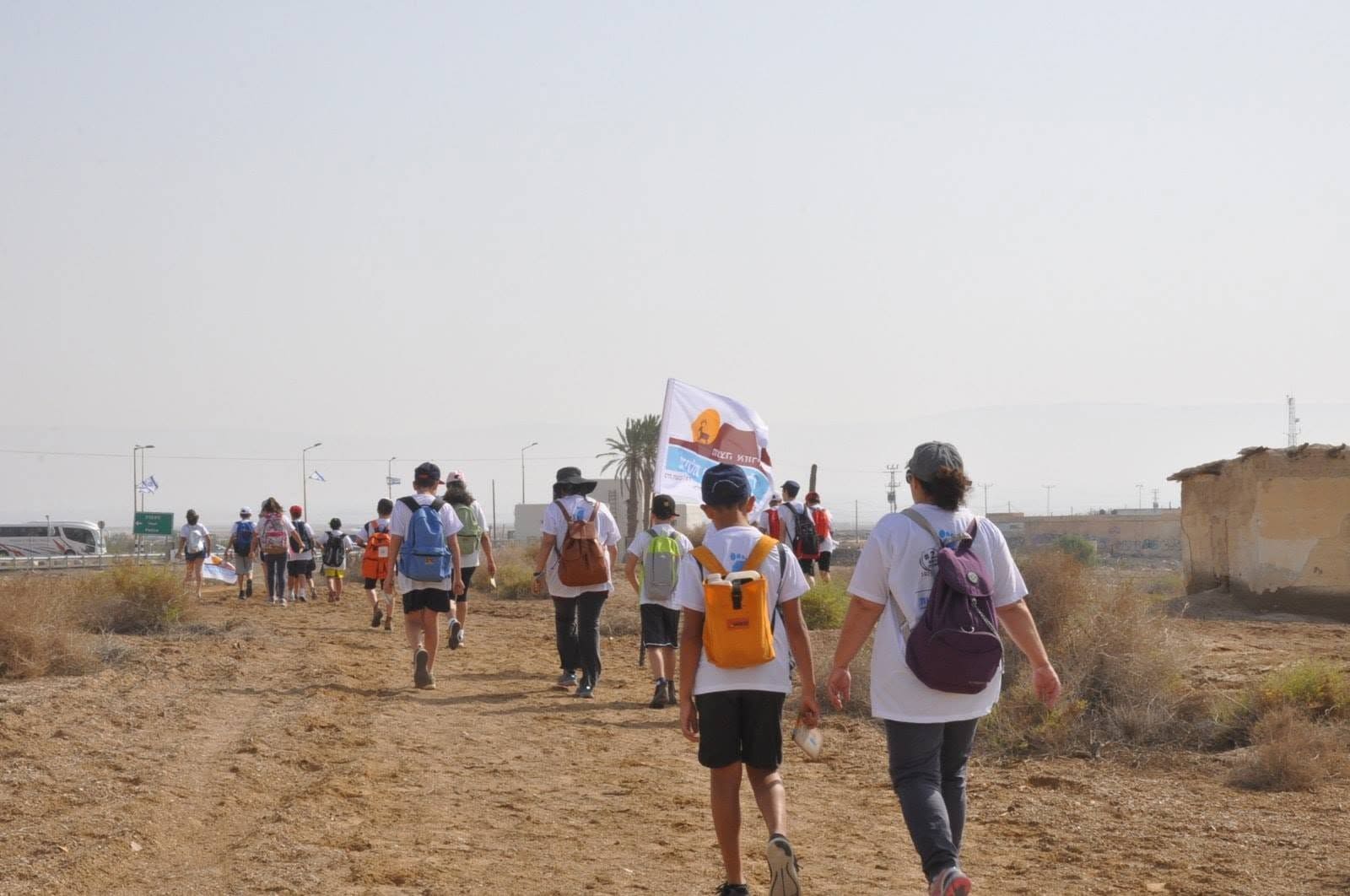
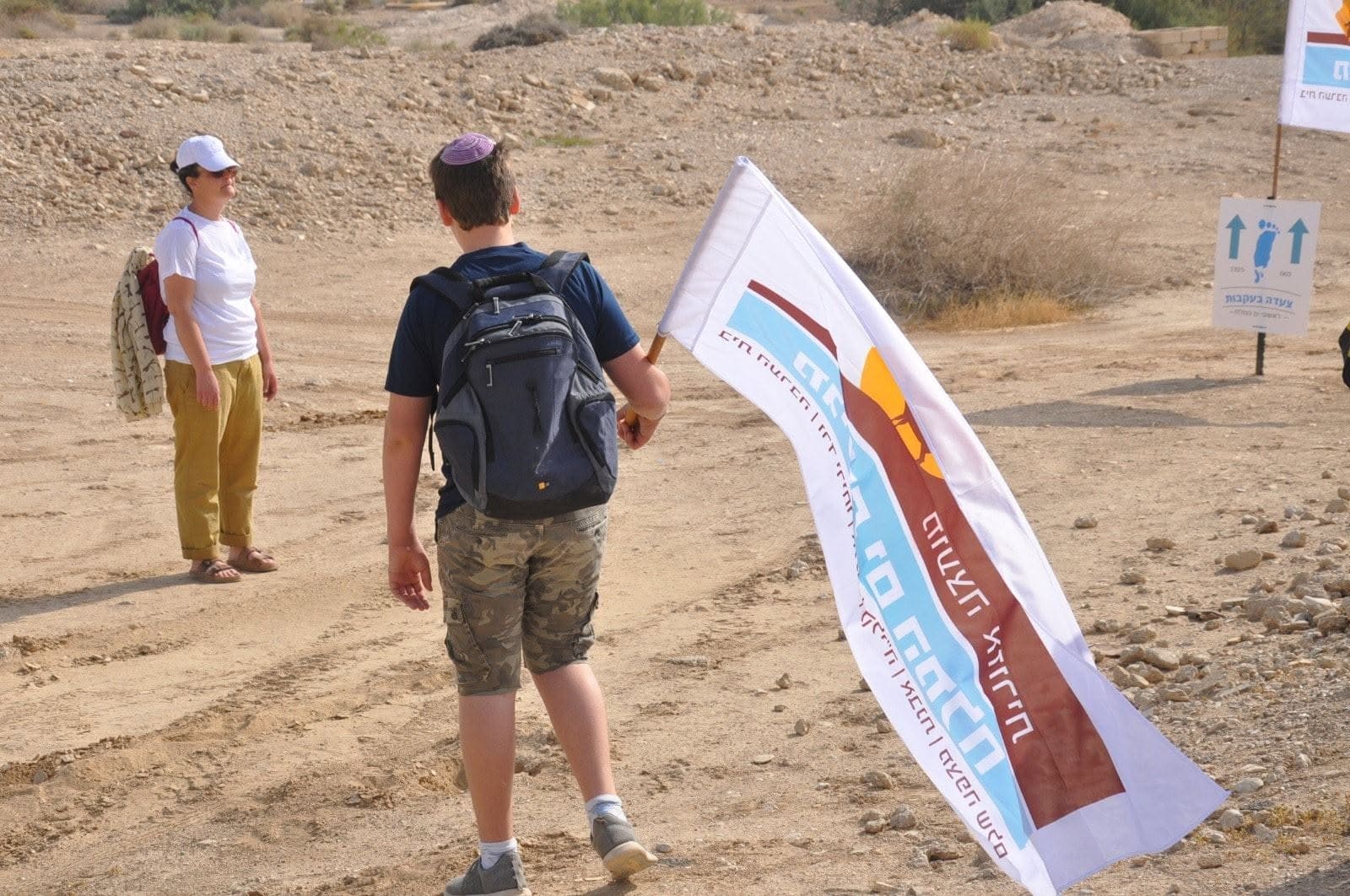
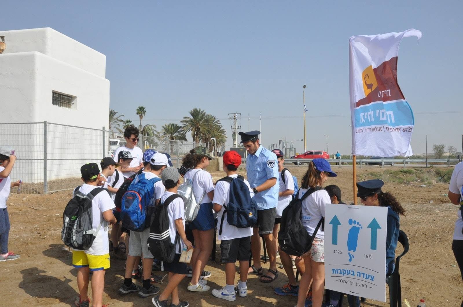
A white flag charged with the emblem is seen at another photo at
the municipal site [only homepage is retrievable].
Dov Gutterman, 15 April 2005
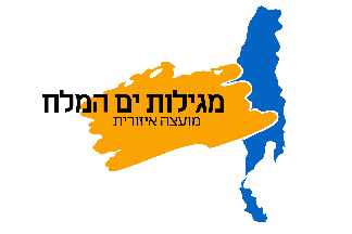 image by Dov Gutterman | 2:3    |